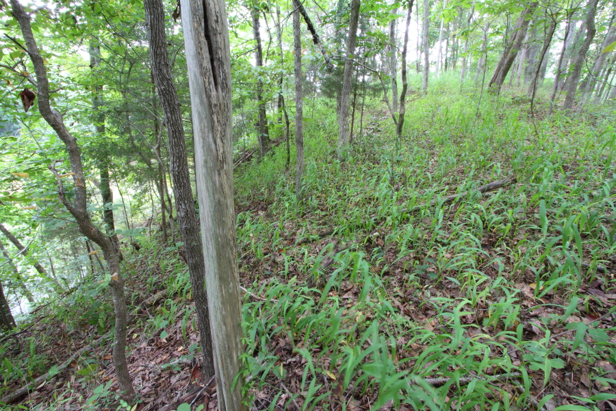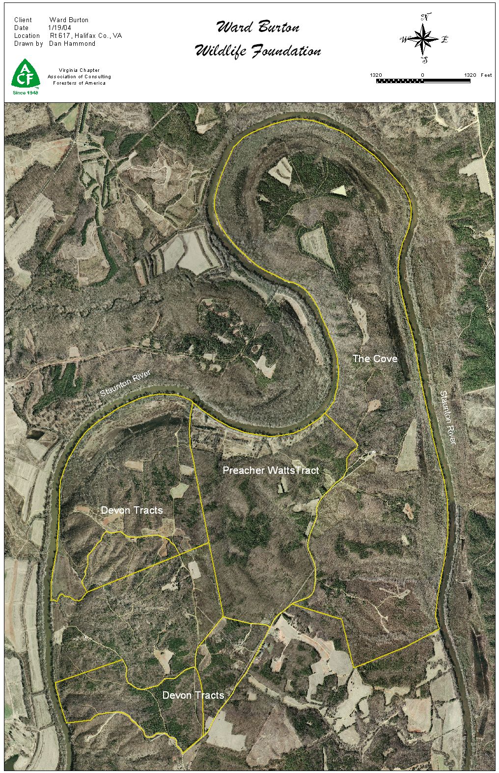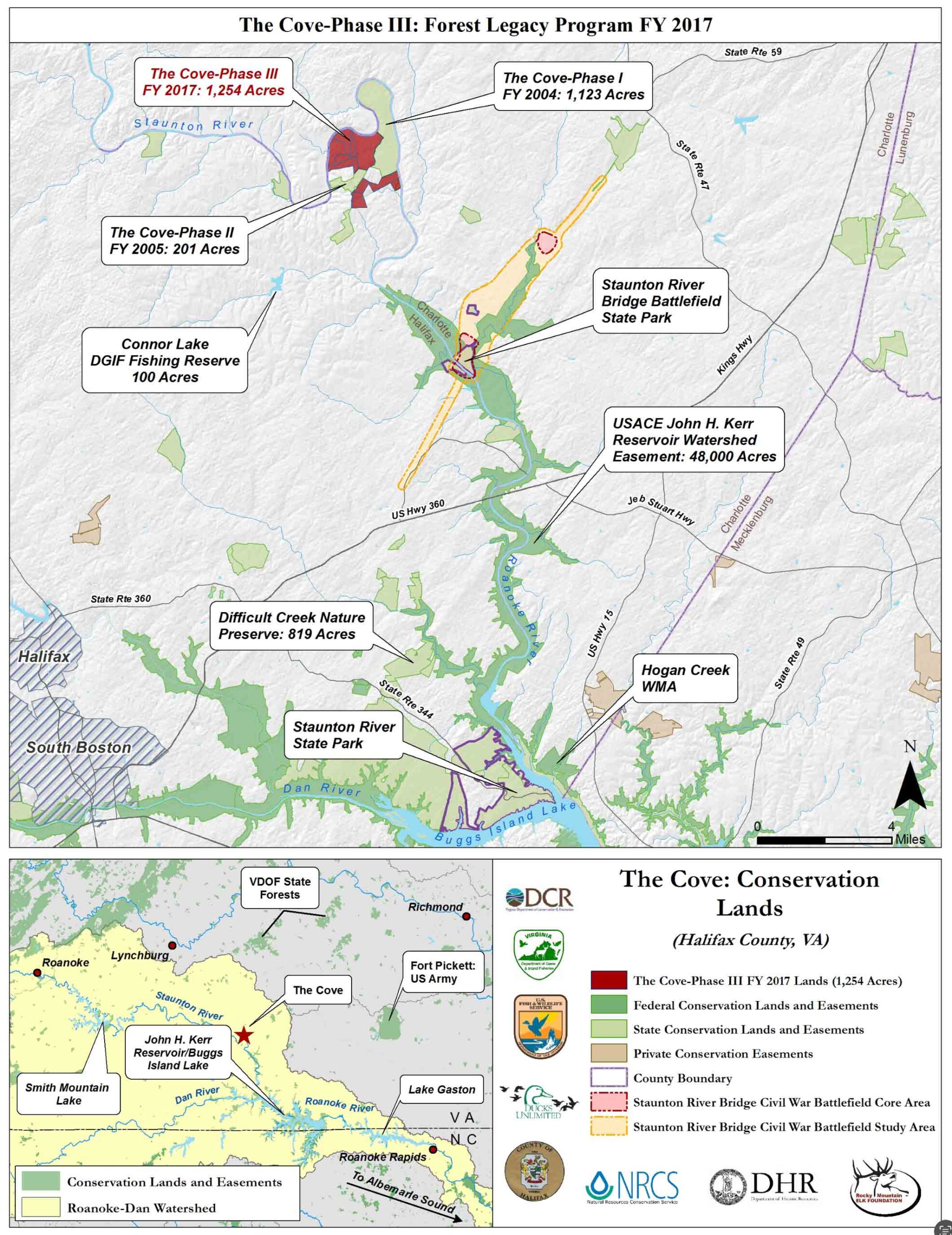
“The Cove” project protects 1,259 acres on the Staunton (Roanoke) River in Halifax County, including 3 miles of river frontage and over 6 miles of interior streams. This property represents one of the largest private landholdings in Halifax County and has been professionally managed as a working Hardwood forest by the foundation for the past 12 years. Halifax continues to lose working hardwood forest in favor of pine plantations, much to the detriment of local wildlife, making this an important tract to protect. In addition to the Forest management plan currently in place, the property will be managed to protect the Roanoke watershed (HUC 03010102, 04 and 06) and water quality which will favorably impact local area streams, the Buggs Island Lake, Lake Gaston, the Roanoke River National Wildlife Refuge, and the Albemarle Sound in North Carolina.
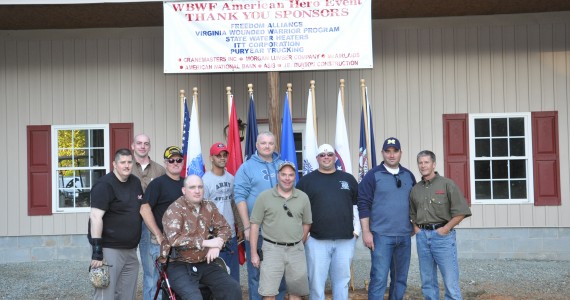
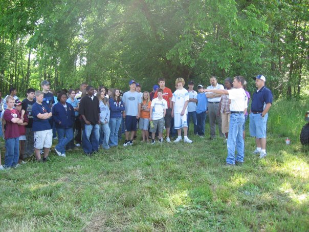
This property provides connectivity between the Smith Mountain Lake WMA, 26 separate WMA’s at Buggs Island, existing easements held by the United States Army Corp of Engineers (USACE), and the Albemarle Sound Watershed Management zone. Additionally, it includes protection of a unique site totaling over 2,500 acres that is used by the Ward Burton Wildlife Foundation for outreach to local youth, Wounded Warriors programs, and as a model to demonstrate sound forest management for hardwood forest management by the State Forestry Departments who visit the site with regional landowners. It is proximate to the only local Civil War Battlefield and contains documented pre-history sites, a registered National Historic site, pre-revolutionary plantation sites, cemeteries and dependencies, and the remains of steamship channels and landings in the Staunton River. This is a key parcel per Virginia Department of Conservation and Recreation Outdoors Plan due to its frontage on a state scenic river. It is managed by a humble and passionate conservationist who seeks to protect and ensure the property is available for future generations to come.
T&E – Roanoke River is a “Threatened & Endangered Species Water”. Halifax County is known to contain three types of Bivalve listed as S1 or S2, including Roanoke Slab shell (Elliptio Roanokensis) G3/S1, Atlantic Pigtoe (Fusconaiai masoni) G2/S2, and Green Floater (Lasmigona subviridis) G3/S2 – VA DCR Natural heritage database.
| SCENIC–The property lies within the National Park Service’s National Rivers Inventory “Outstandingly Remarkable Values (ORV)” designation for Historic and Geologic elements. The entire area along the Roanoke River from Kerr Lake to AltaVista maintains outstanding/very high ecological integrity. (NPS – MAPS) |
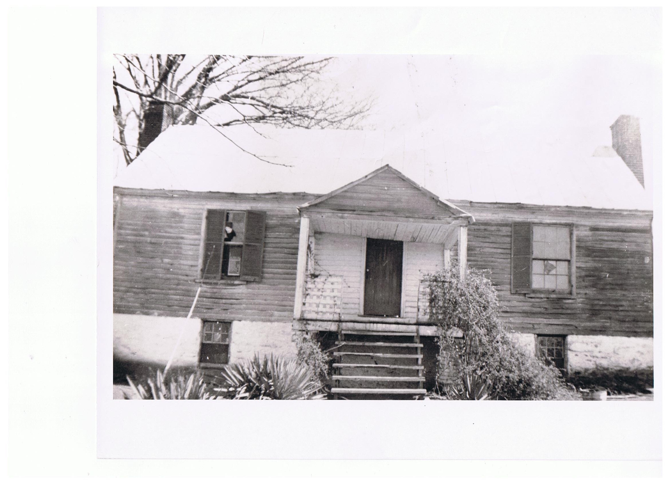
| HISTORIC – The Cove was originally granted by King George II to Richard Randolph in 1740, who then sold to David Sims. William Sims (son of David) constructed The Cove plantation house (photo) in 1773. Protection of this tract aids in supporting the foundations efforts to maintain The Cove and its forest and historic resources. (National Register / WPA) |
| HISTORIC–The Upper Devon Tract (397 acres on NW side of property) contains the ruins of the Britton-Fields Plantation house, a pre-revolutionary home built overlooking the Staunton River. Adjacent to the home is the family cemetery and nearby is believed to be a slave cemetery from former plantation slaves. (Halifax County Historic Society Interview – 2014 & 1976) |
| HISTORIC – The Cove and its adjacent riverbed contain numerous “cut sluices” installed by the USACE in the 1800’s to aid in steamship navigation between Brookneal and Randolph, VA. These are documented in the attached maps from “Roanoke Staunton River Atlas, VA Canals and Navigation Society”, Trout, et al. (MAPS) |
| TRIBAL/HISTORIC-Connors Midden, a known archeological site lies on “The Cove” and is a known Saponi Native American site (VA DHR 44HA0011) documented during at least three archeological expeditions, the first in 1883 by Valentine. The probability of additional sites extant on Upper Devon and Watts properties (directly adjacent to The Cove) is high and their protection will be enhanced by this easement. (The Cove National Registry) |
| T&E- Over 220 bird species are found in the Roanoke River floodplain area. Riparian Bird surveys by VDGIF and NC DGIF indicate 88 resident species present in this area. North Carolina Department of Water Quality 2014 – Roanoke River NWR |
| T&E-The Cove will aid the following threatened fish: Carolina Darter (Etheostoma collis) G3/S2, Speckled Killfish (Fundulus rathbuni) G4/S2, and Whitemouth Shiner (Notropis alborus) G4/S1. The Carolina Darter is confirmed in Wards Creek properties 3 mile from this site. ( Nature serve 2014) |
| T&E- The VA DCR T&E registry lists 29 types of vascular plants as occurring in the Halifax county area. Halifax remains an uncharted territory; however, The Cove includes several areas of “High Probability” that are scheduled for inspection during September 2014. VA DCR – MAP |