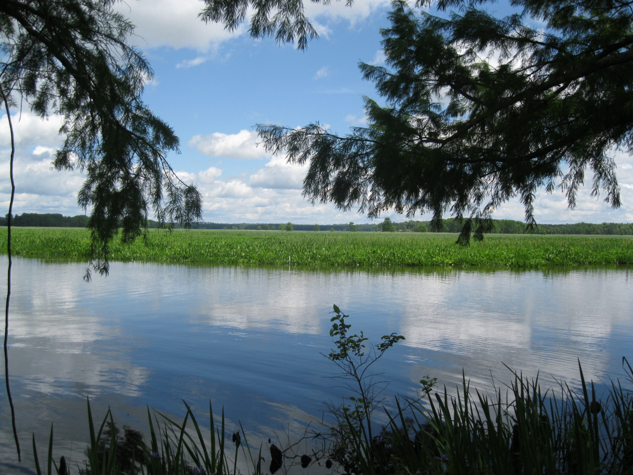
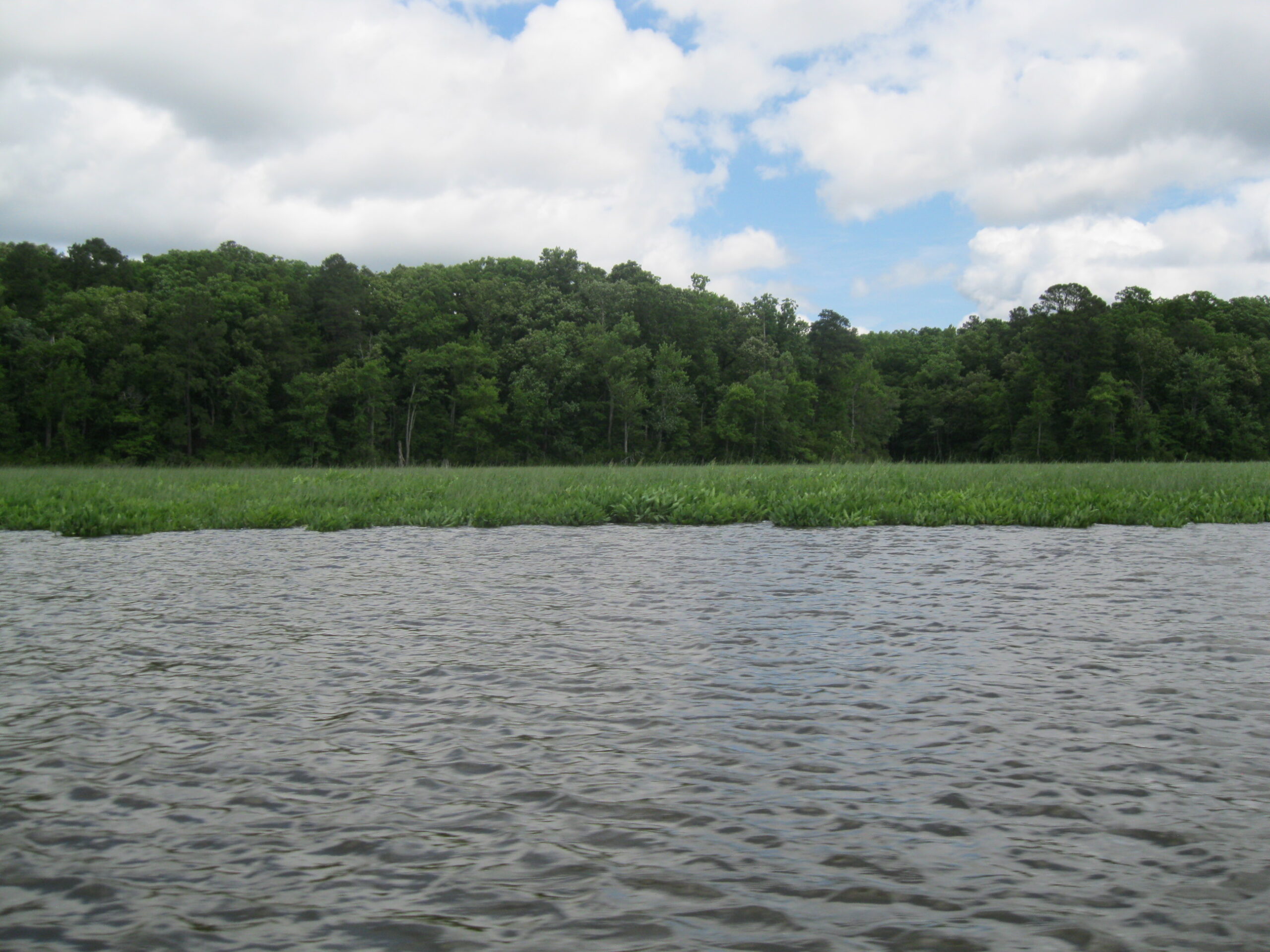
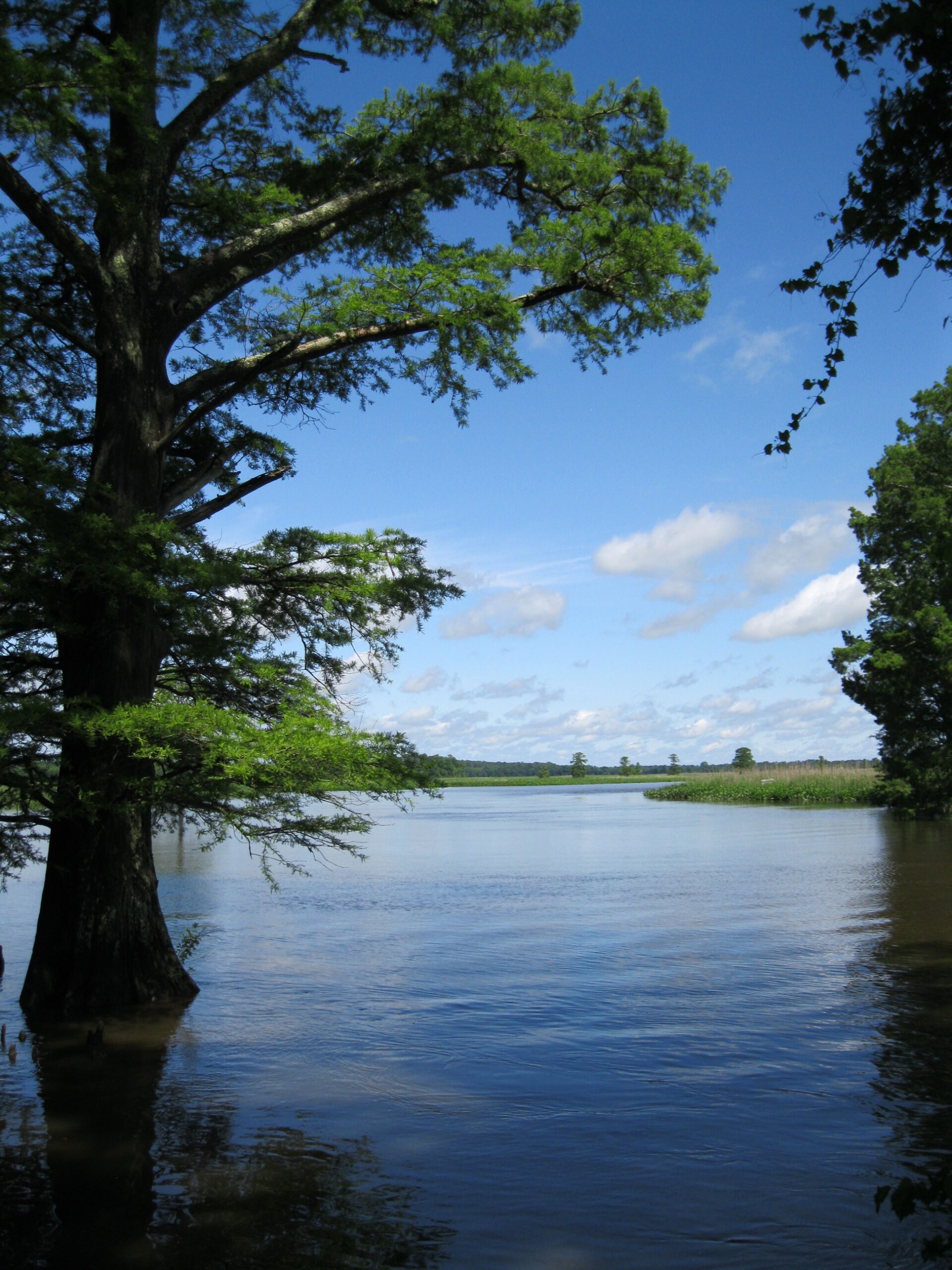
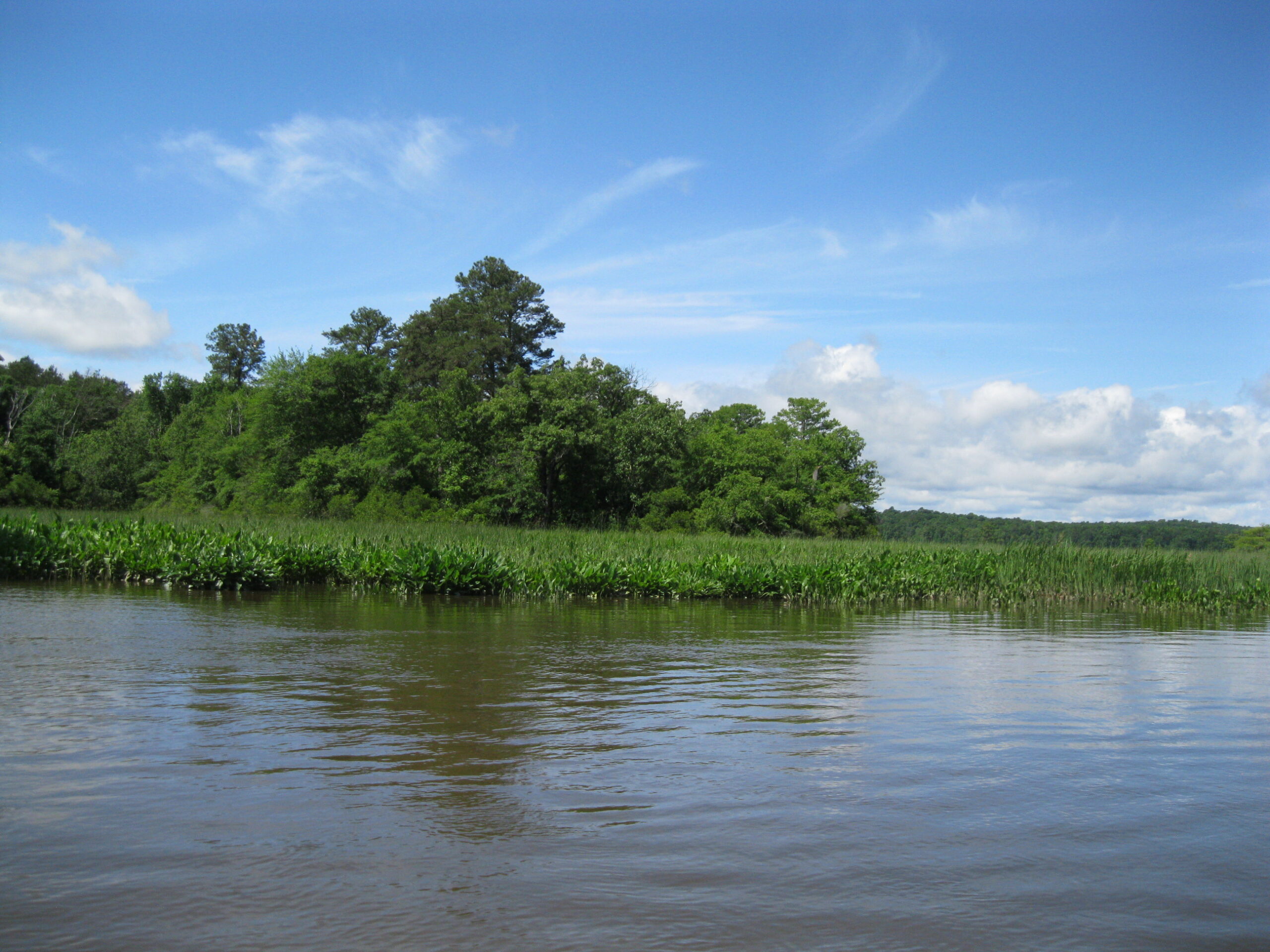
Property is composed primarily of wooded and open marshland and protection helps preserve the local rural landscape and the natural resource, wildlife habitat, and the open-space attributes of the property. Property contains shoreline and wetlands on the Chickahominy River, which is a tributary of the Chesapeake Bay and protection from overdevelopment will help preserve the water quality of the Chesapeake Bay by reducing non-point source pollution.
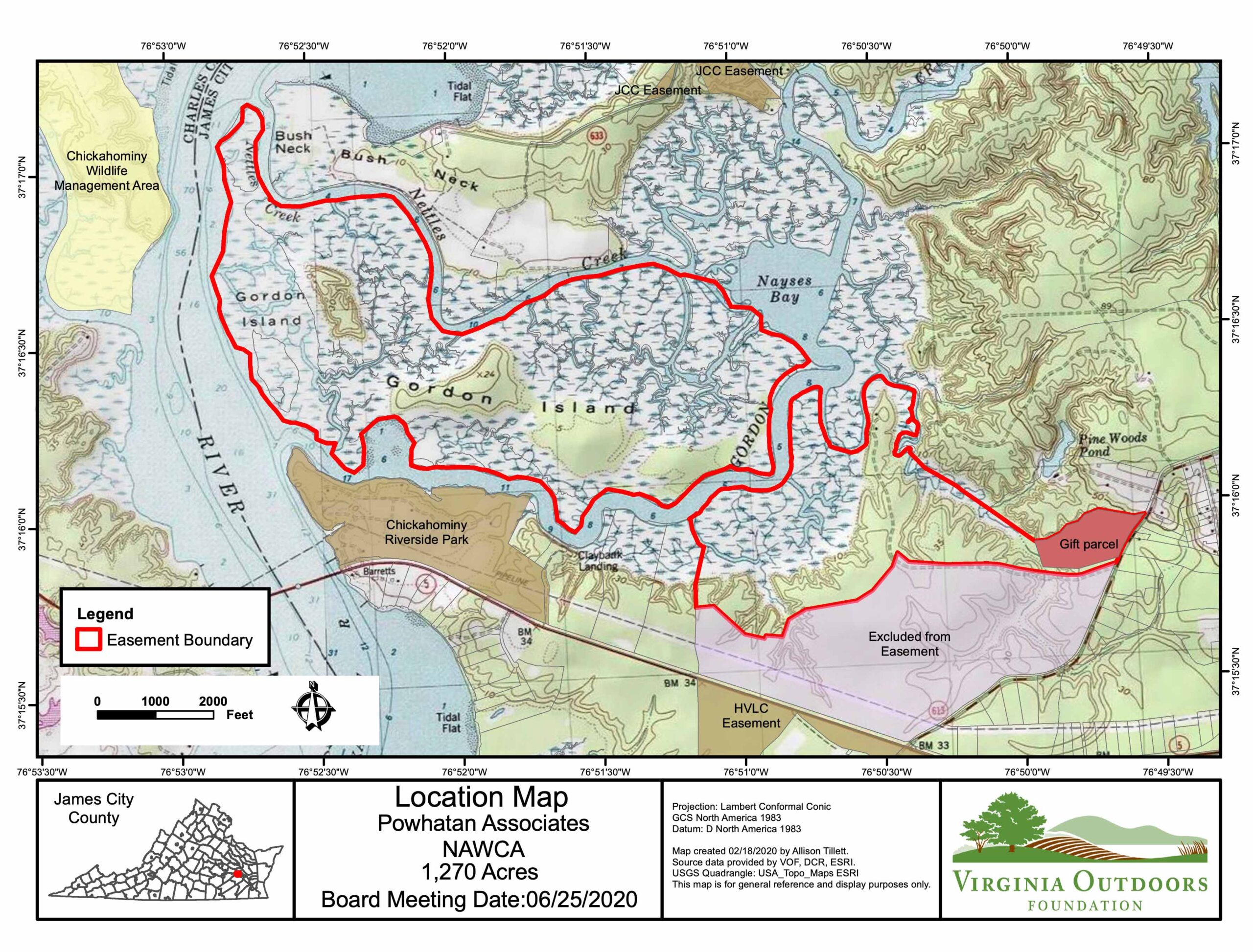
Property lies near land under open-space easement deeded to The Historic Virginia Land Conservancy, and protection of the property contributes to the open-space values of such other lands under easement and the continuity of wildlife habitat on all these properties under easement.
Property lies just across the Chickahominy River from the Chickahominy State Wildlife Management Area, and protection of the property contributes to the open-space values and the continuity of wildlife habitat on all these properties.
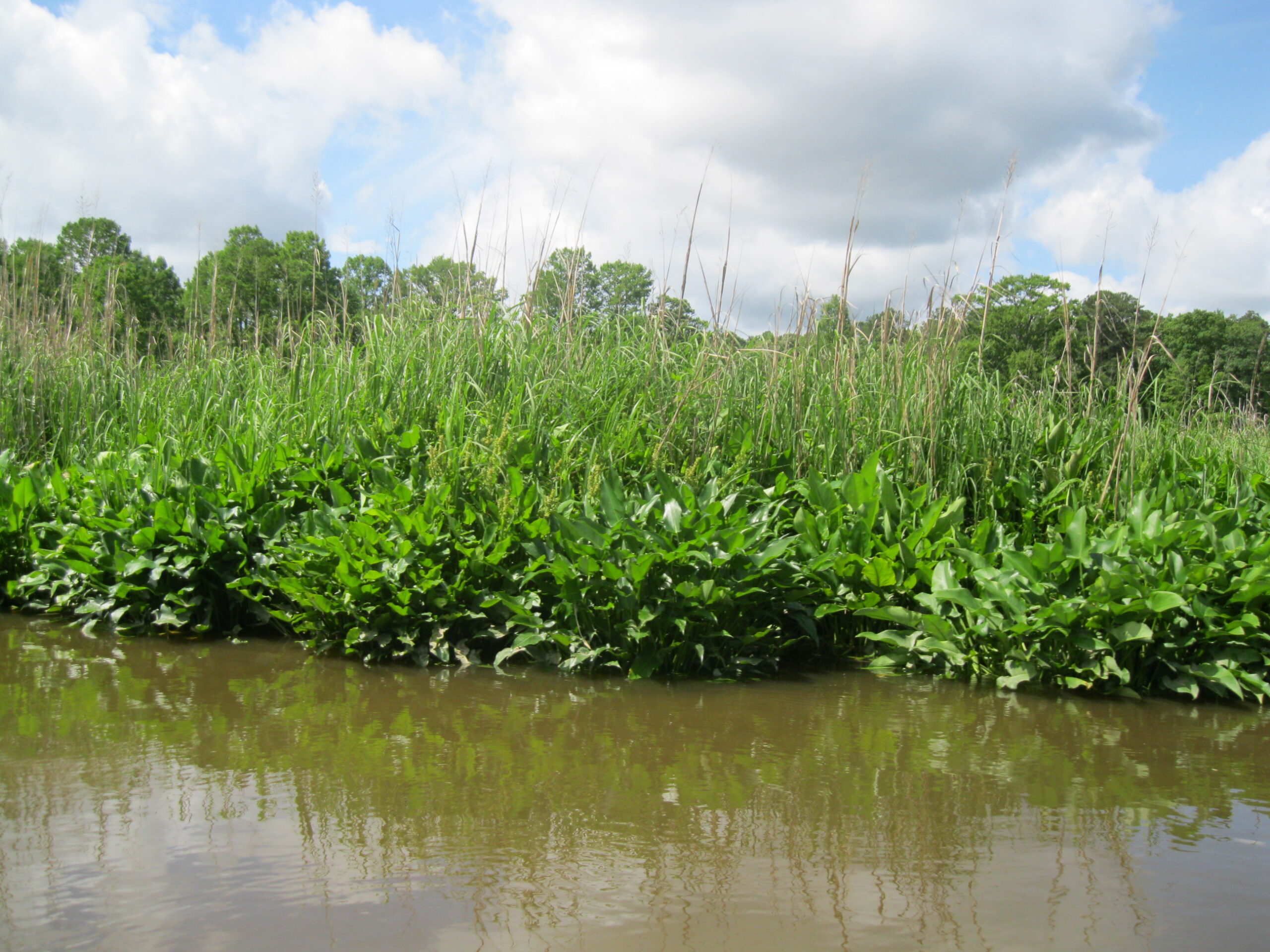
Property lies within the Chickahominy River-Shipyard Creek-Diascund Creek Stream Conservation Unit ranked as B2 by the Virginia Department of Conservation and Recreation and supports a tidal freshwater marsh community on the Chickahominy River identified as a significant natural plant community, and an outstanding wetland conservation area by the Virginia Natural Heritage Program and the easement restrictions contribute to the success of the plants and animals and their habitats.
Property contains thirty-five Species of Greatest Conservation Need as identified in in Virginia’s 2015 Wildlife Action Plan as developed by the Virginia Department of Game and Inland Fisheries and the easement restrictions help protect those species and their associated habitat areas.
Property includes a portion of the western riverside portion of the National Register listed boundary for the Chickahominy Shipyard Site (Number 047-0078) and the easement restrictions help protect the historic resources by limiting development and by protecting the rural character of the landscape in the area.
Property is visible to boaters on the Chickahominy River and lies on the Captain John Smith Chesapeake National Historic Water Trail and limiting intensive development of the property helps preserve the recreational experience of public users of the river and the Trail by protecting the scenic views enjoyed by the public.
Preservation of the Property in a relatively undeveloped state by the restrictions set forth herein contributes to the “Goals and Outcomes” of the 2014 “Chesapeake Bay Watershed Agreement,” entered into by the Commonwealth of Virginia, six other states, the District of Columbia, the Chesapeake Bay Commission, and seven federal agencies. The agreement’s Land Conservation Goal states in part: “By 2025, protect an additional two million acres of land throughout the watershed . . . and reduce the rate of conversion of agricultural lands, forests, and wetlands as well as the rate of changing landscapes from more natural lands that soak up pollutants to those that are paved-over, hardscaped, or otherwise impervious.”
Property lies within the Chesapeake Bay watershed, and the protection of the rivers and streams in the bay watershed will help implement the goals of Federal Executive Order 13508 (May 19, 2009), which include “restore clean water, recover habitat, sustain fish and wildlife, conserve land and increase public access in the Bay watershed by 2025”.
Easement was acquired in part with funding received by Grantee from the Service’s National Coastal Wetlands Conservation Grant Program, for the purpose of protecting the long-term conservation of coastal wetlands ecosystems (see 50 CFR, Section 84.10), which includes preserving and protecting in perpetuity these multiple, interrelated land features which are critical to coastal fish, wildlife and their habitats.