The Commonwealth of Virginia authorized the State Scenic River program by statute in the Virginia Scenic Rivers Act of 1970, §10.1-400. The Virginia Scenic Rivers Program was established in 1970 to celebrate outstanding examples of Virginia’s more than 49,000 miles of rivers and streams. Scenic river designations result from partnerships between local groups, local governments, state agencies and the Virginia General Assembly. The Nottoway River from Stony Creek in Sussex County downstream through Southampton County to the North Carolina line carries this designation. It is the single longest State Scenic River segment in the Commonwealth. It is one of ONLY three Virginia river segments eligible for the federal “Wild and Scenic River” designation. Presently, no Virginia river carries that esteemed designation. Many of our neighboring states contain nationally recognized rivers, which begs the question, “why do we not have at least one?” We are the “Birthplace of a Nation” and “Mother of Presidents” with eight Virginia born gentlemen having served as President of the United States … it is time to act.
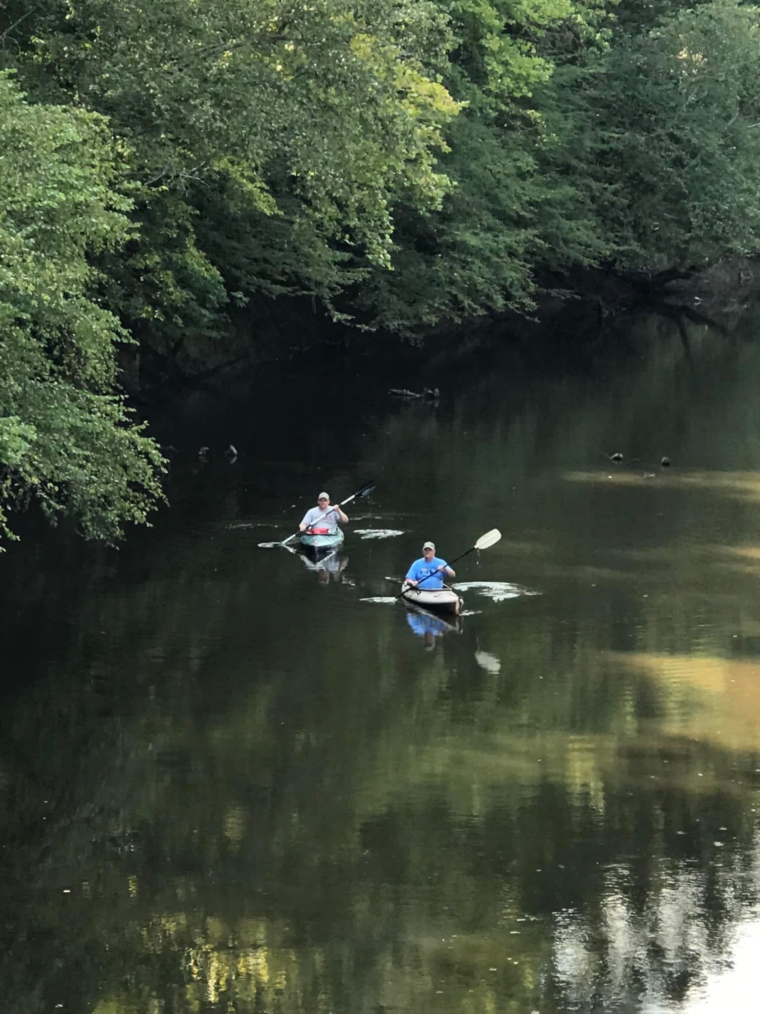
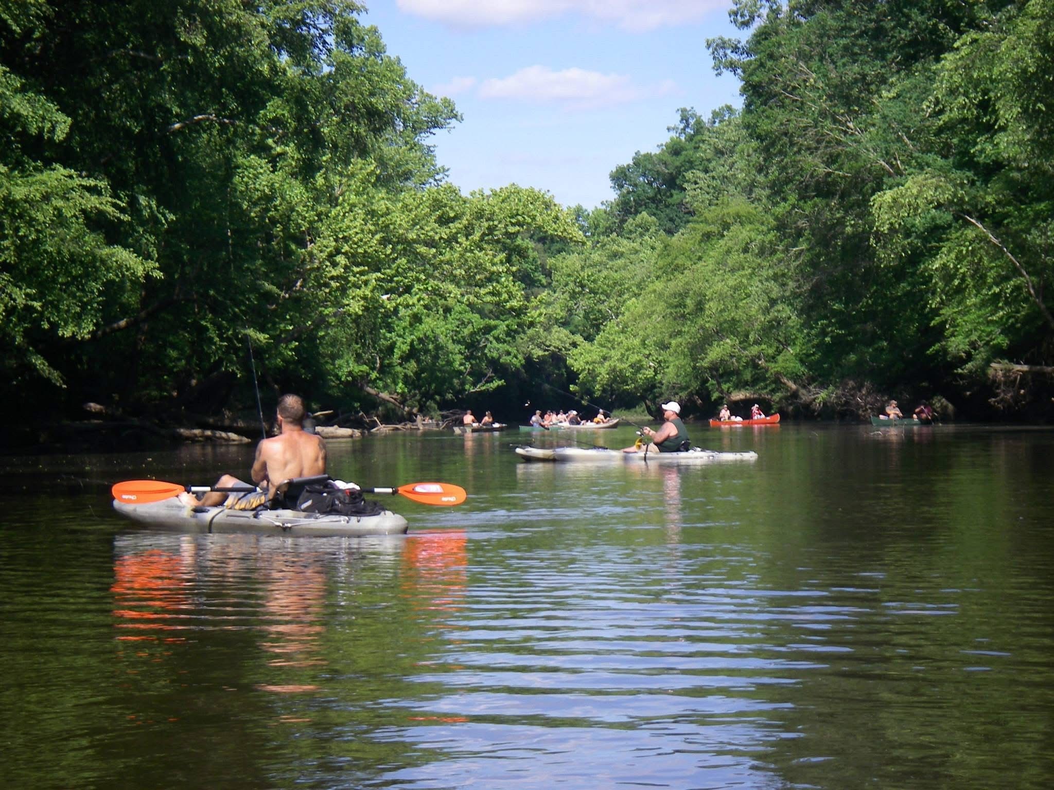
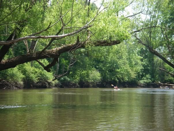
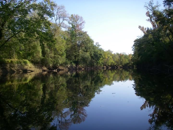
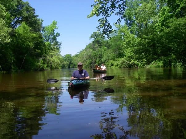
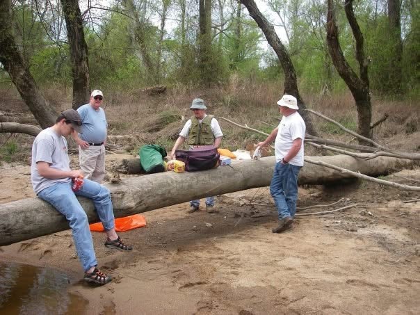
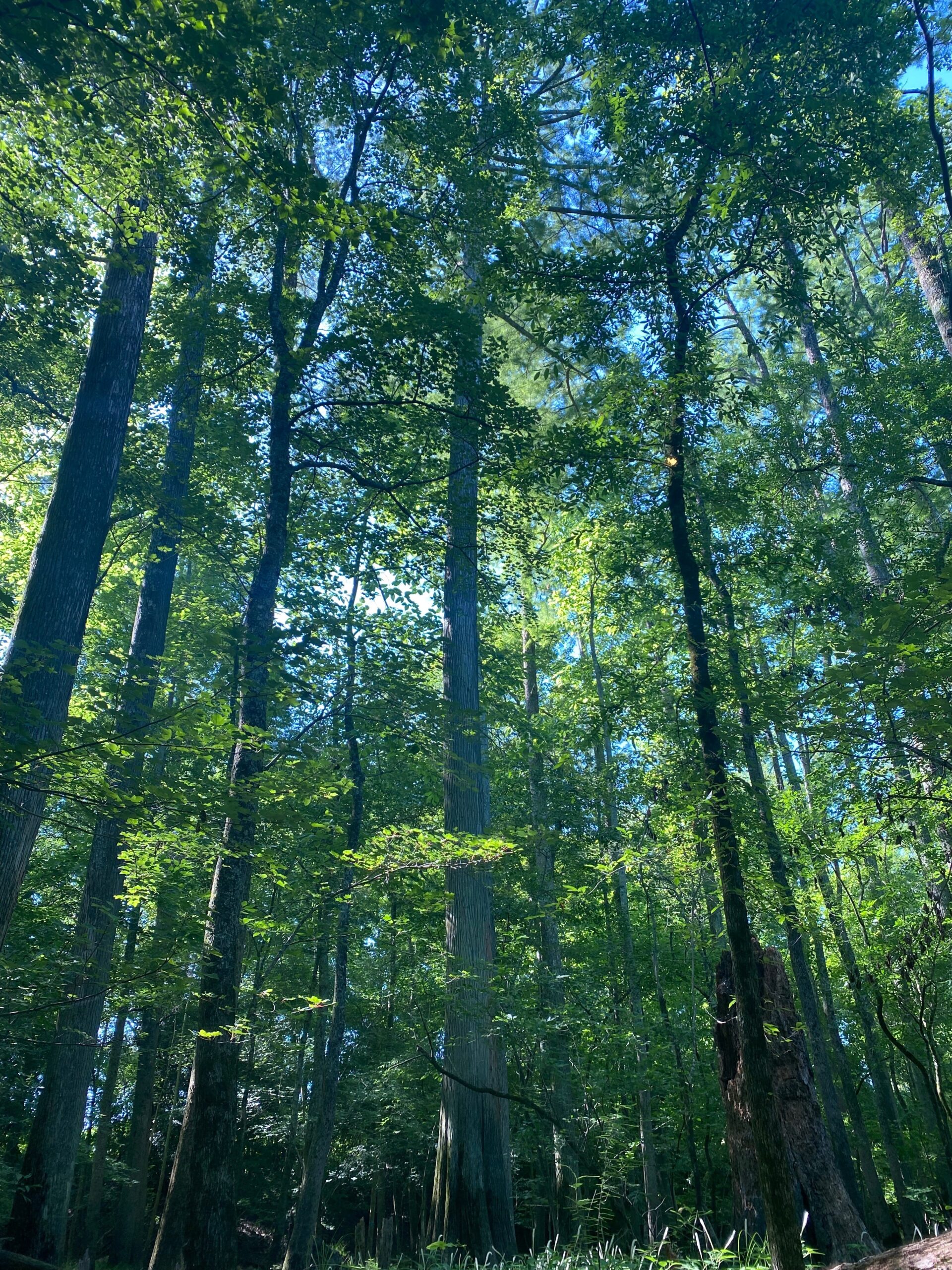
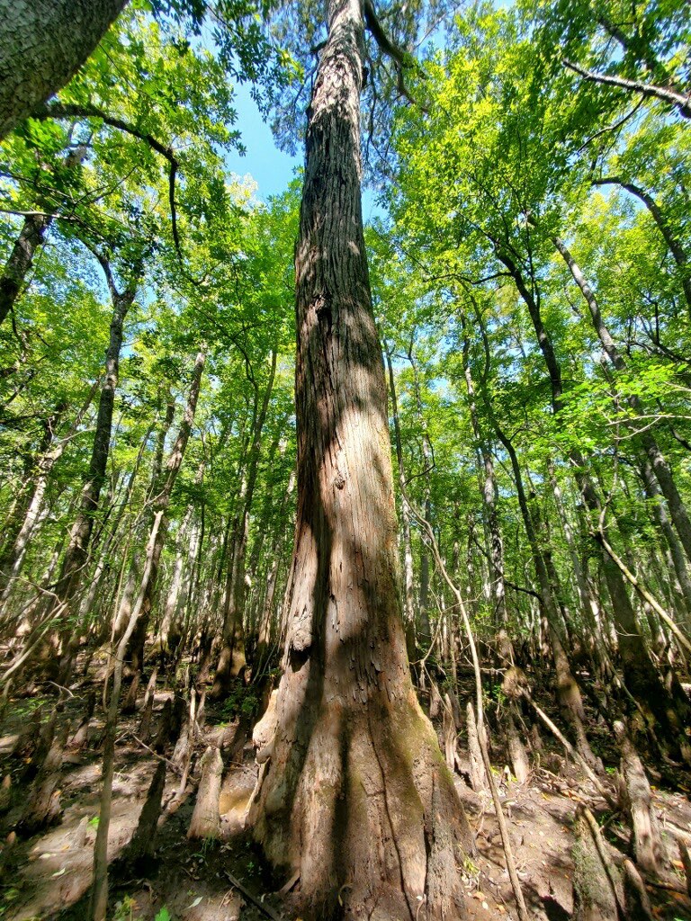
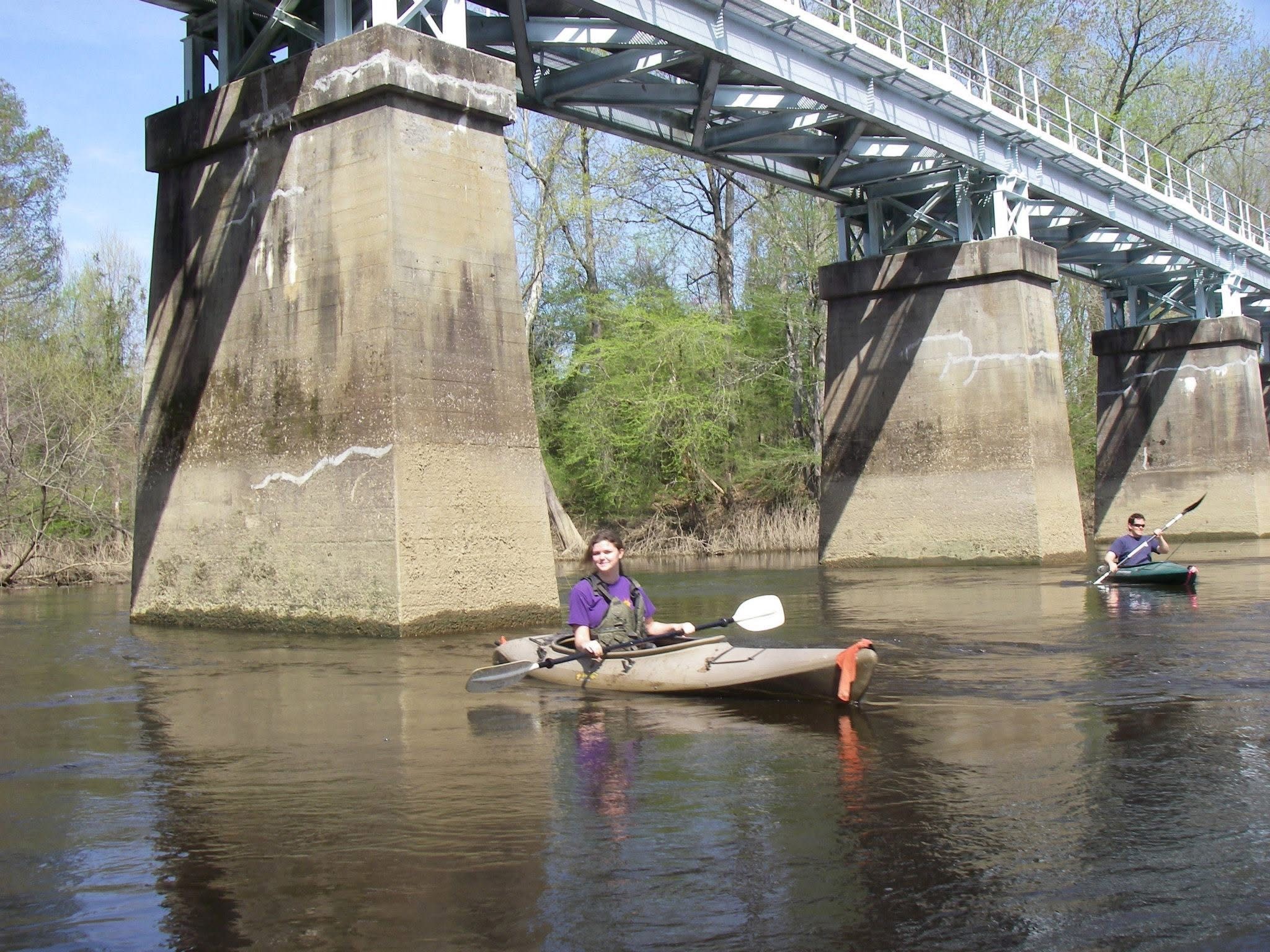
The Nottoway State Scenic River is 82 miles long, includes long expanses of undeveloped forested frontage and includes, per the National Park Service 1982 eligibility assessment, “Botanic: ~ 10,000 acres of cypress forest; longest river swamp in the entire northeast region. Corridor and surrounding area include significant amounts of cypress.” To be eligible for National Scenic listing a river must fall into one of three categories (Wild, Scenic, Recreational), two of which apply to the Nottoway River:
Scenic: Those rivers or sections of rivers that are free of impoundments, with shorelines or watersheds still largely primitive and shorelines largely undeveloped, but accessible in places by roads,
Recreational: Those rivers or sections of rivers that are readily accessible by road or railroad, that may have some development along their shorelines, and that may have undergone some impoundment or di version in the past.
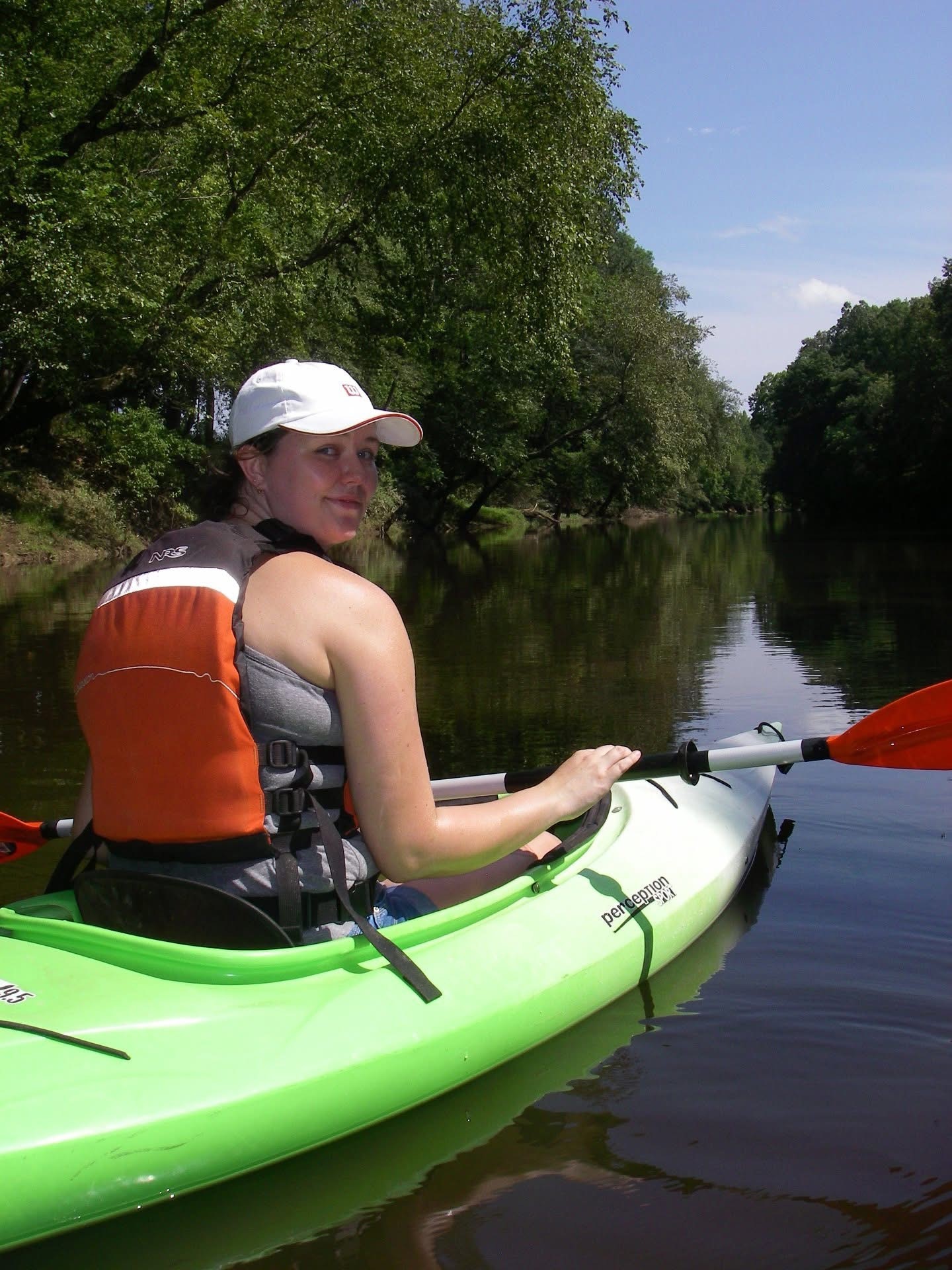
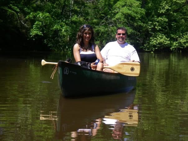
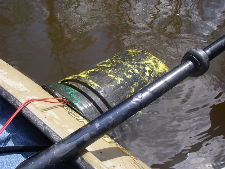
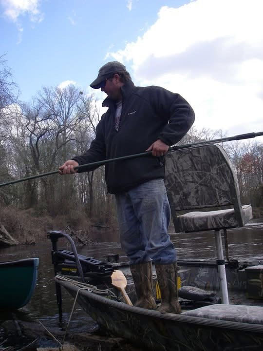
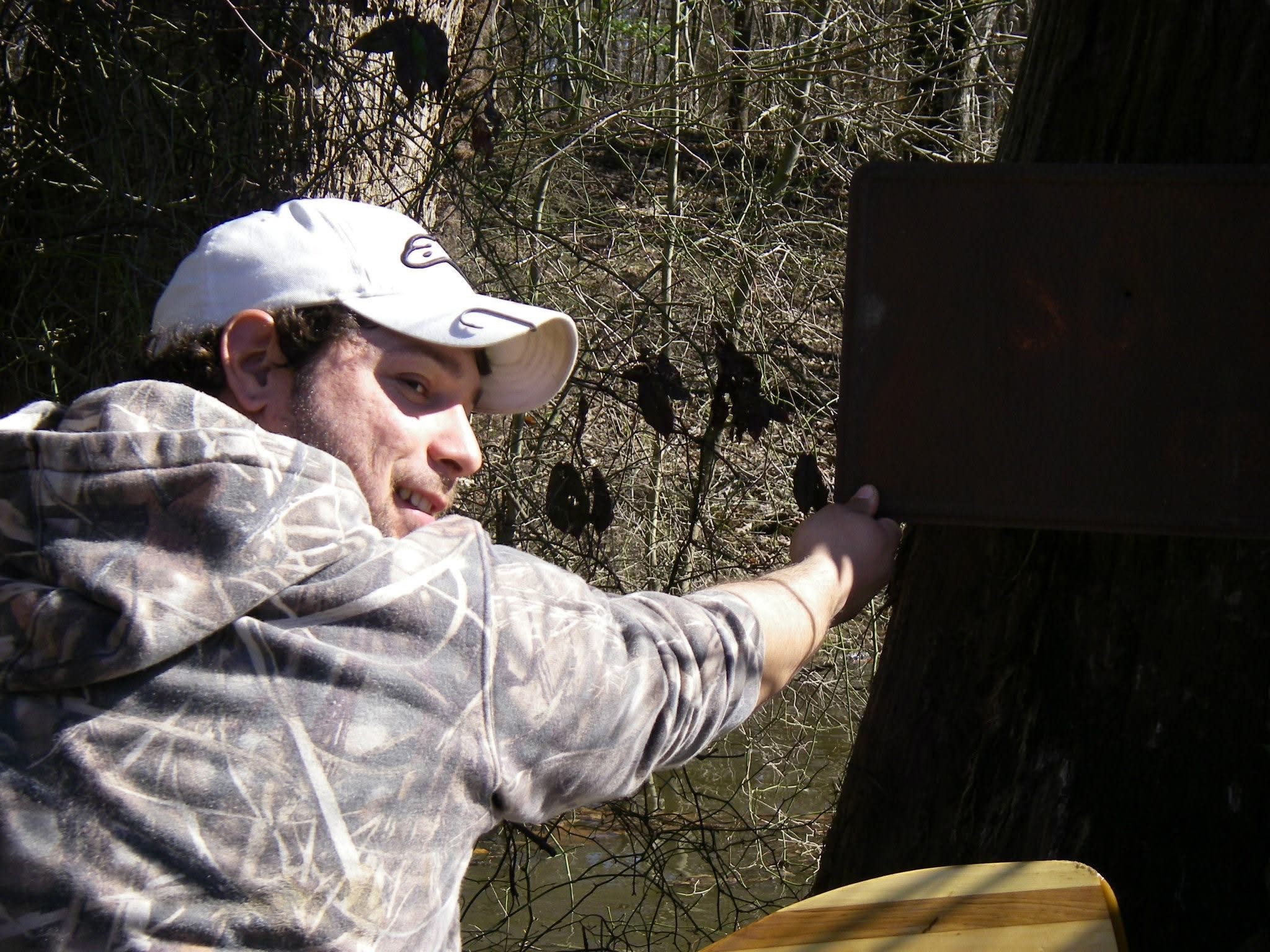
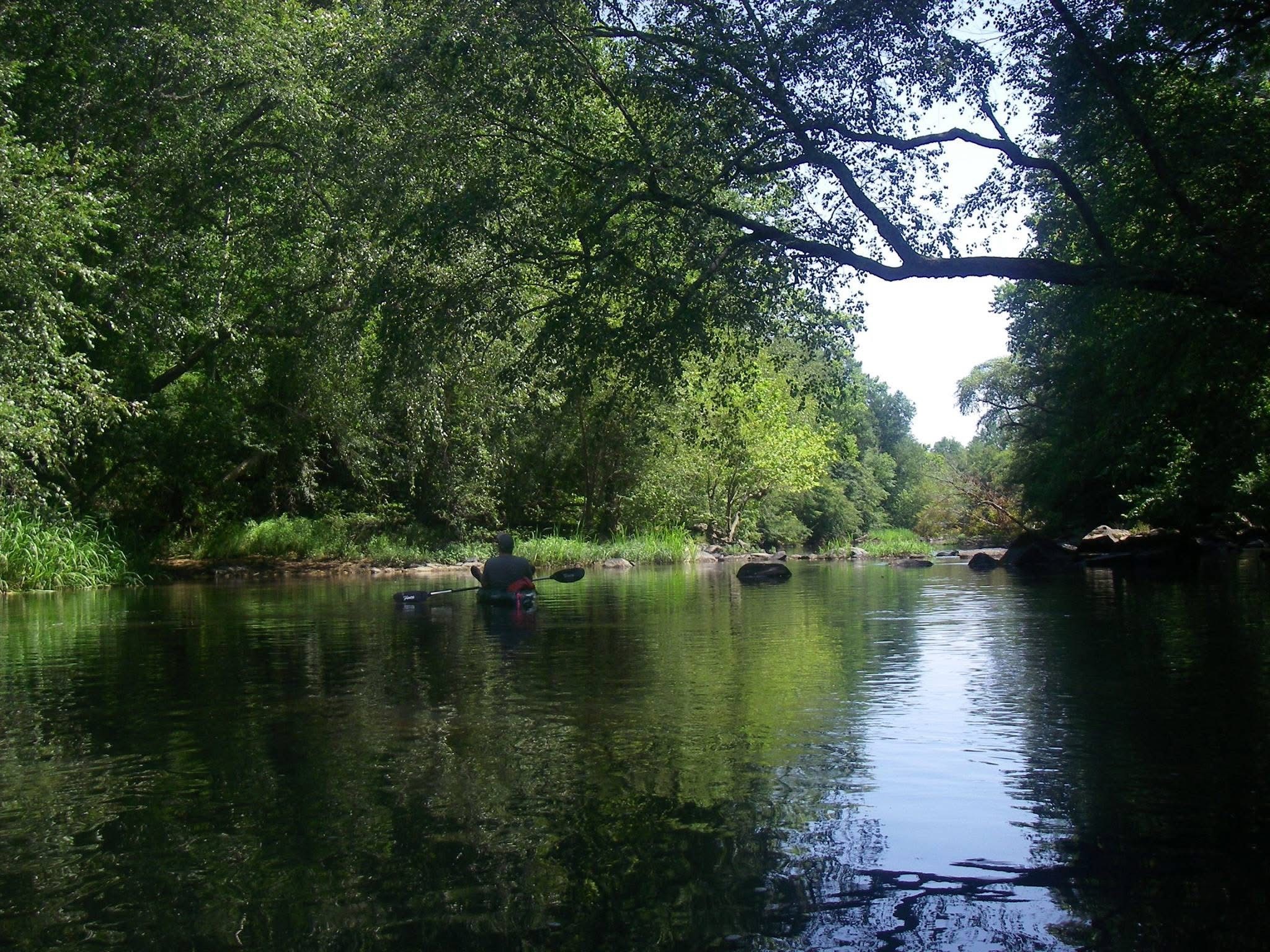
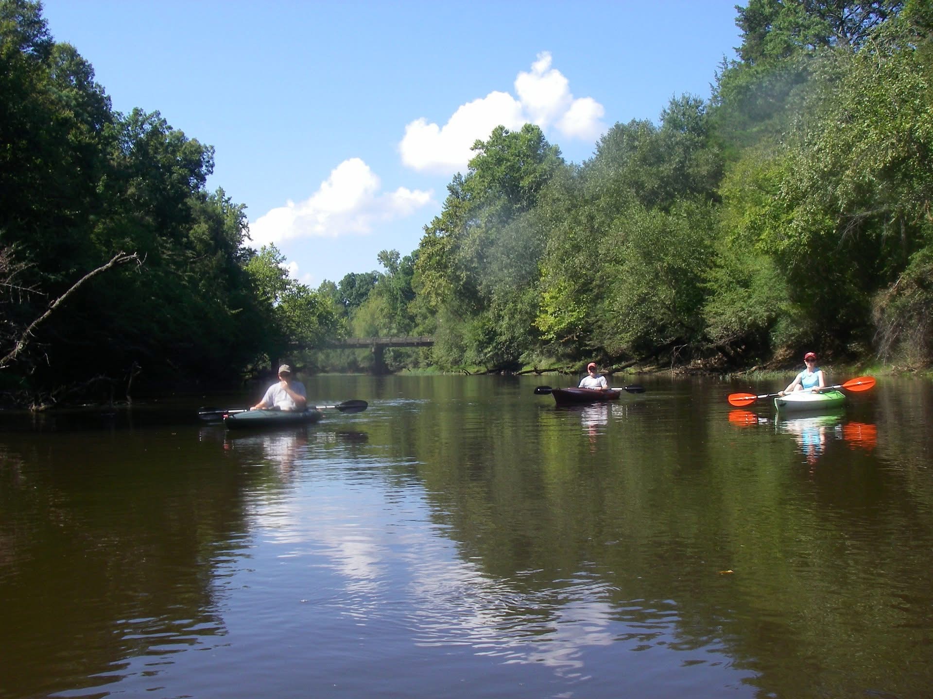
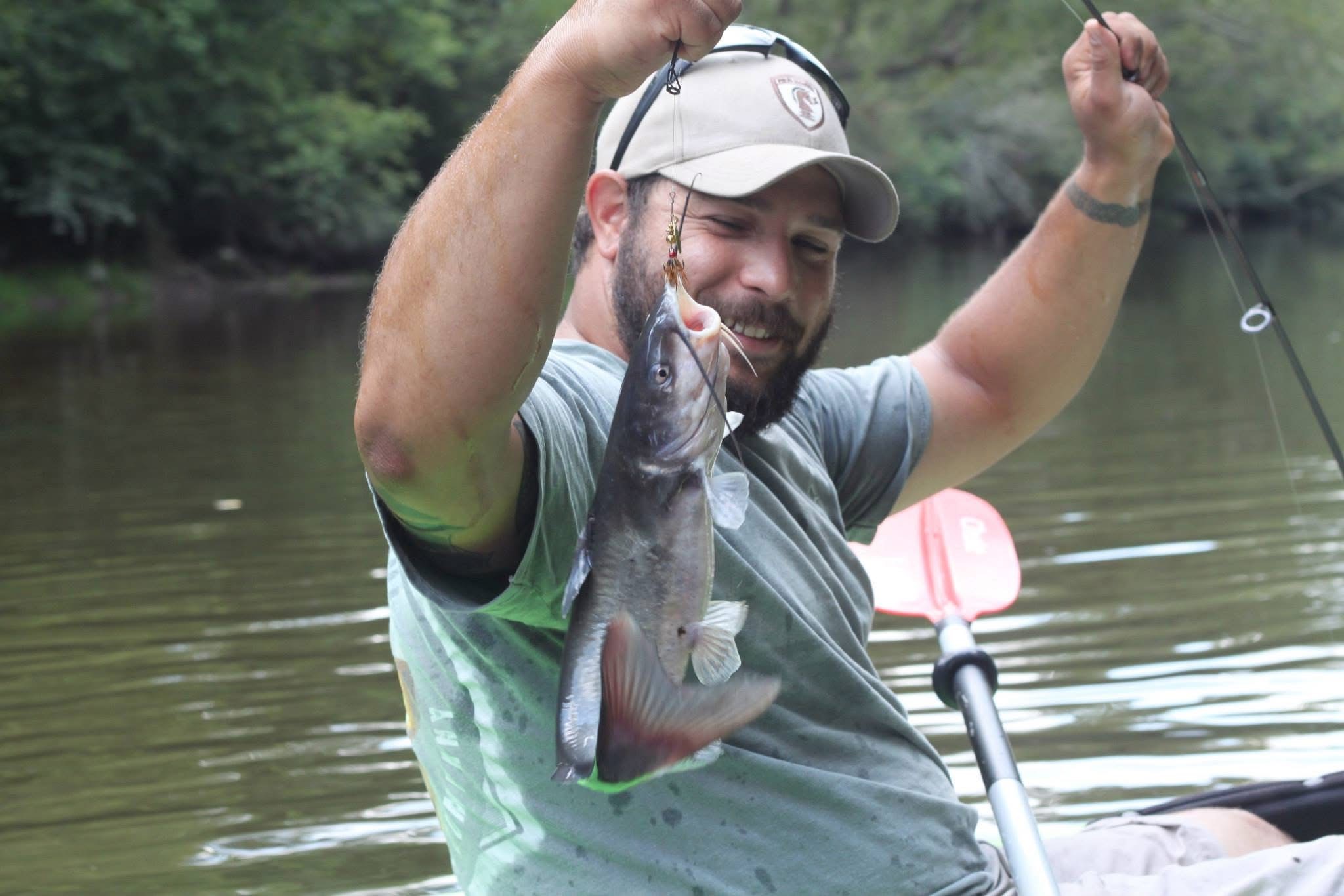
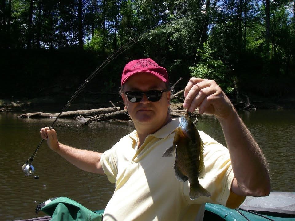
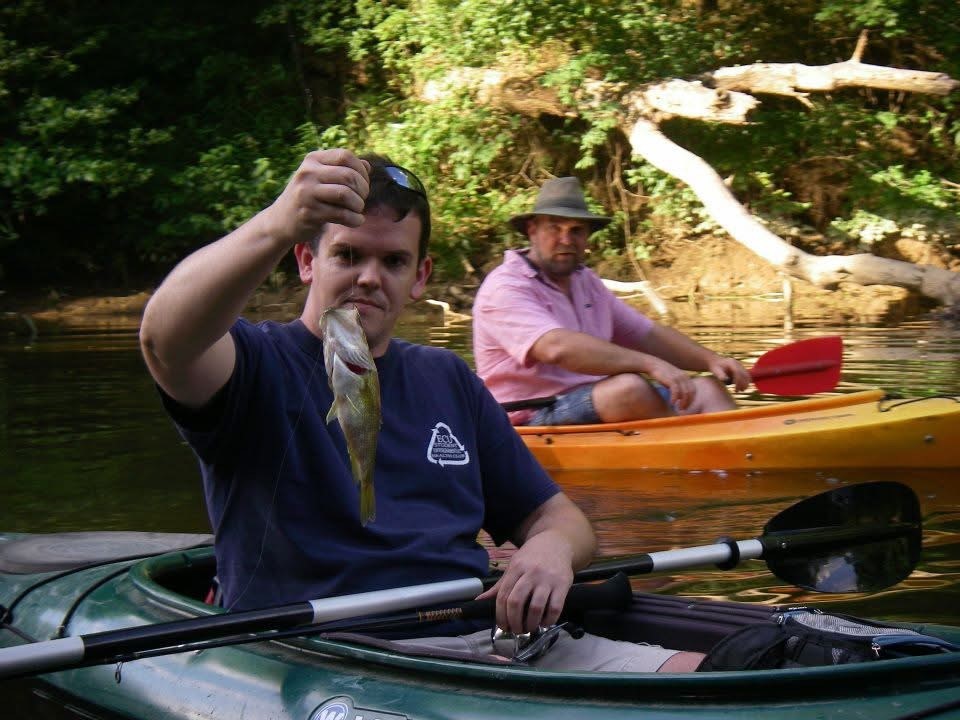
The Nottoway River falls into these two categories given its largely intact Cypress forests and its recreational value as a paddling, fishing, and boating destination for residents of Western Hampton Roads and the rest of the Commonwealth. It also possesses a federal nexus as it is a primary water source for the Albemarle Pamlico National Estuary, congressionally designated in 1987, which is also recognized as one of “Americas Great Waters”. This cross-border influence makes the protection and management of this aquatic resource at least a regional issue, IF NOT NATIONAL, given the congressional designation applied to the Albemarle Pamlico Estuary.
For more information email: nottowayriver@beechtree.biz
And if you would like to do your own reading click here ( this site take a few min to load )